Success
Your message has been sent to an agent.
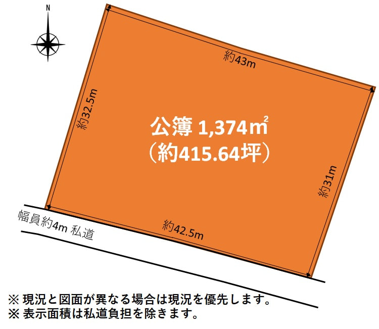
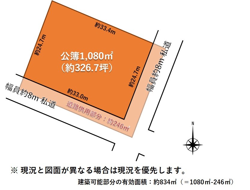
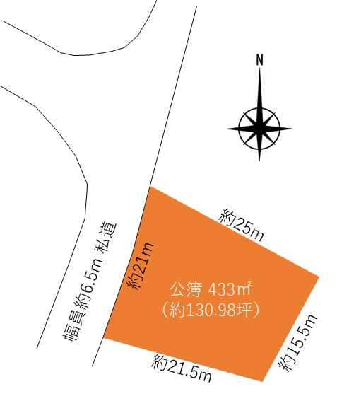
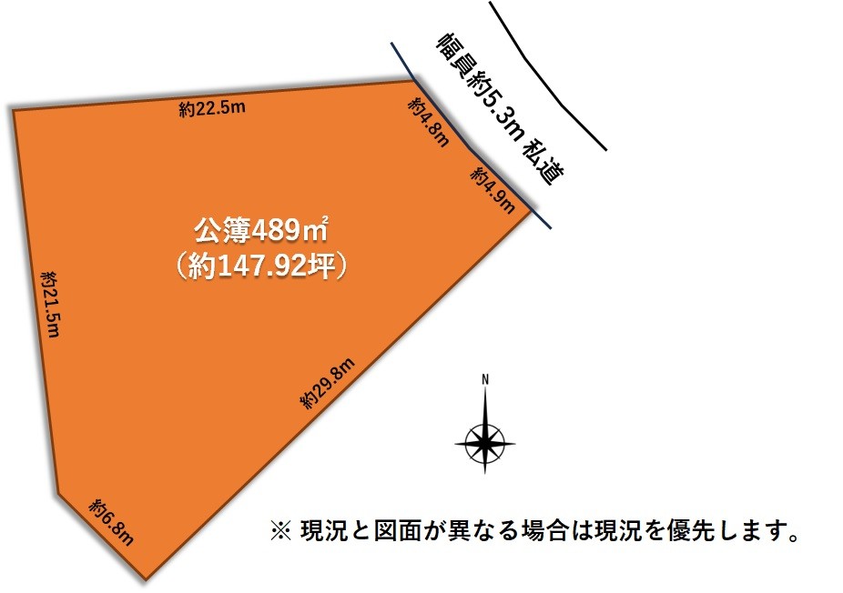
Land size
1,374.00m²
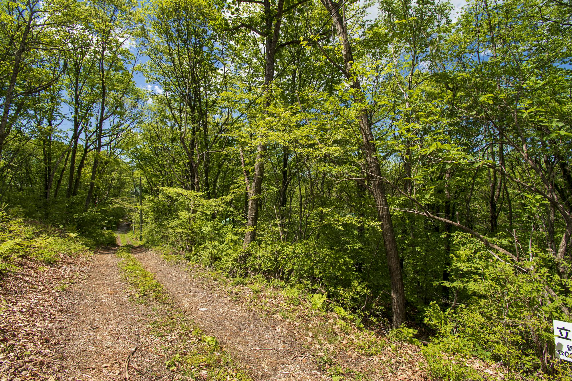
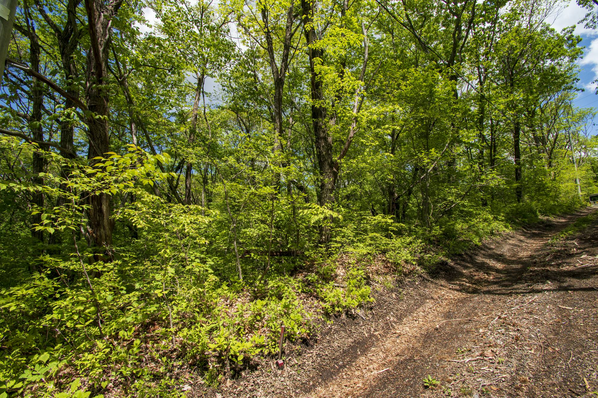
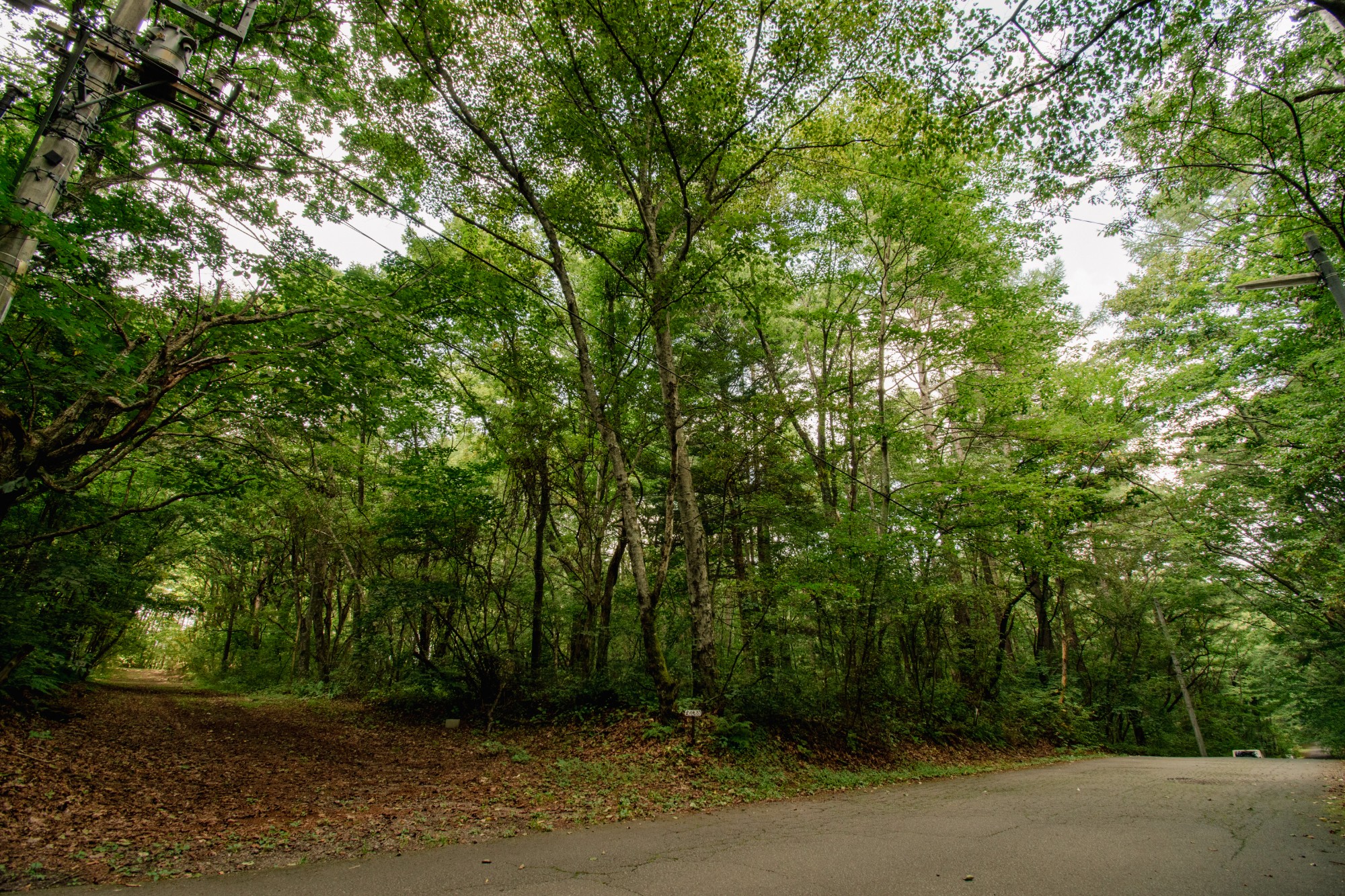
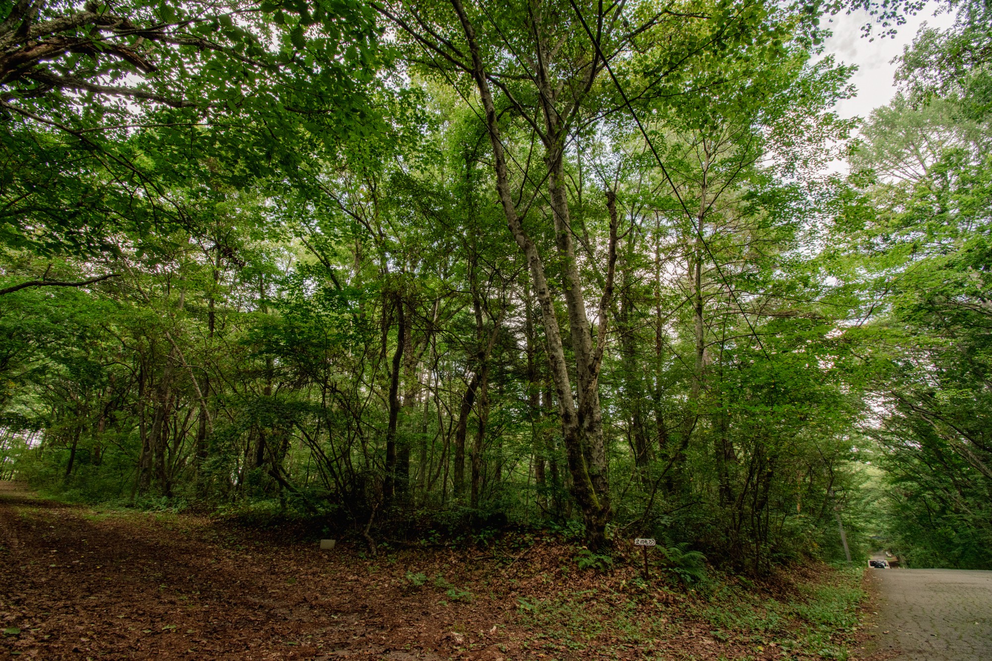
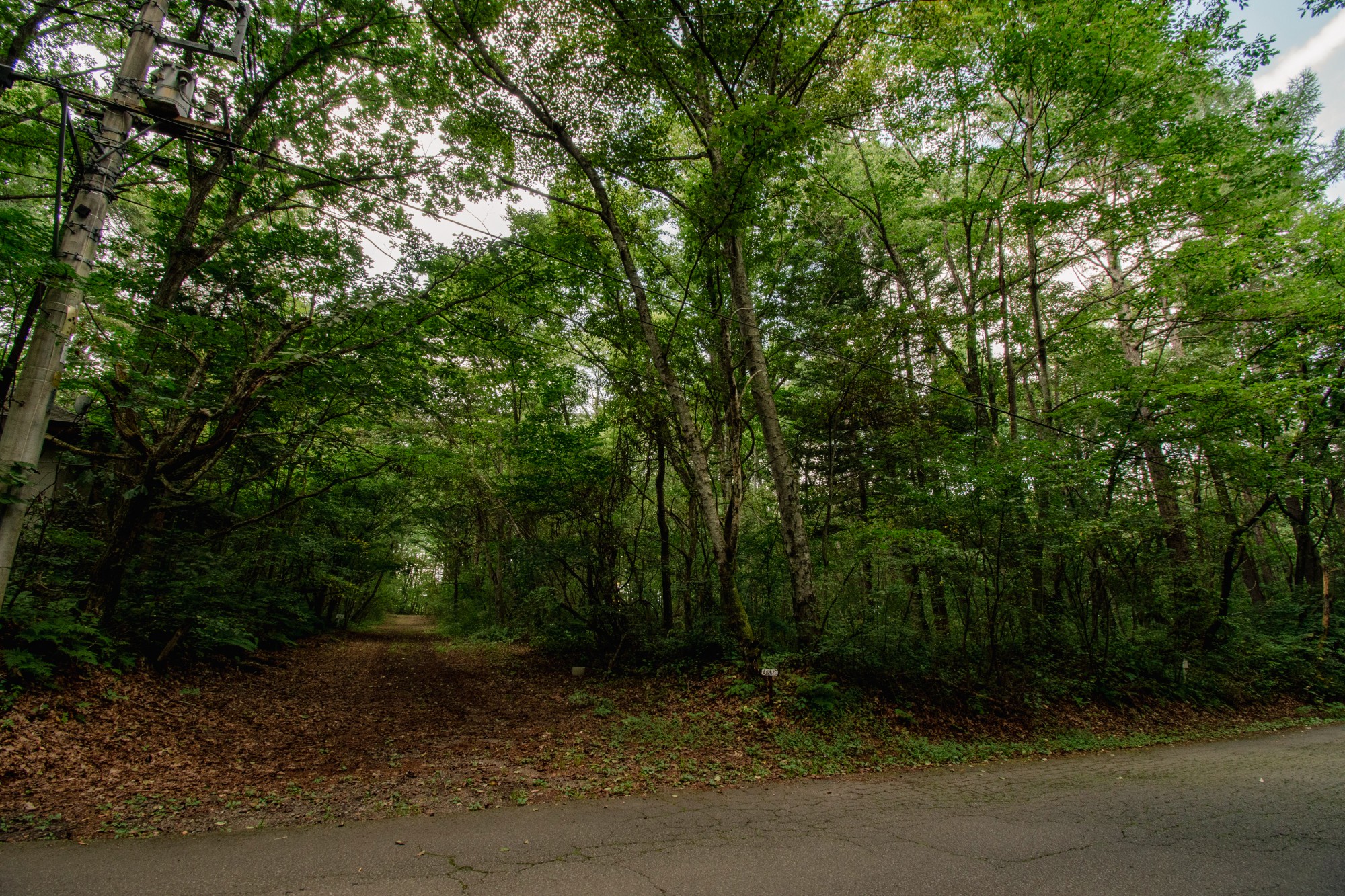
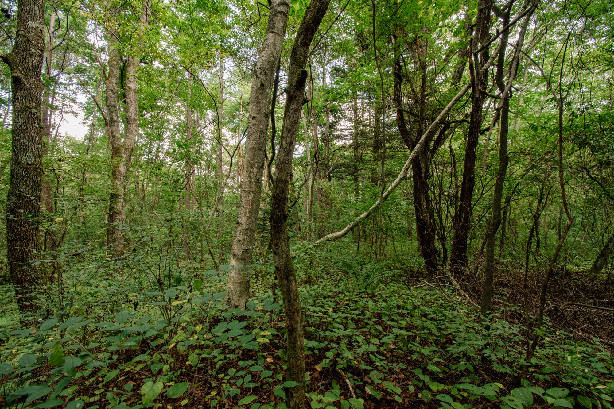
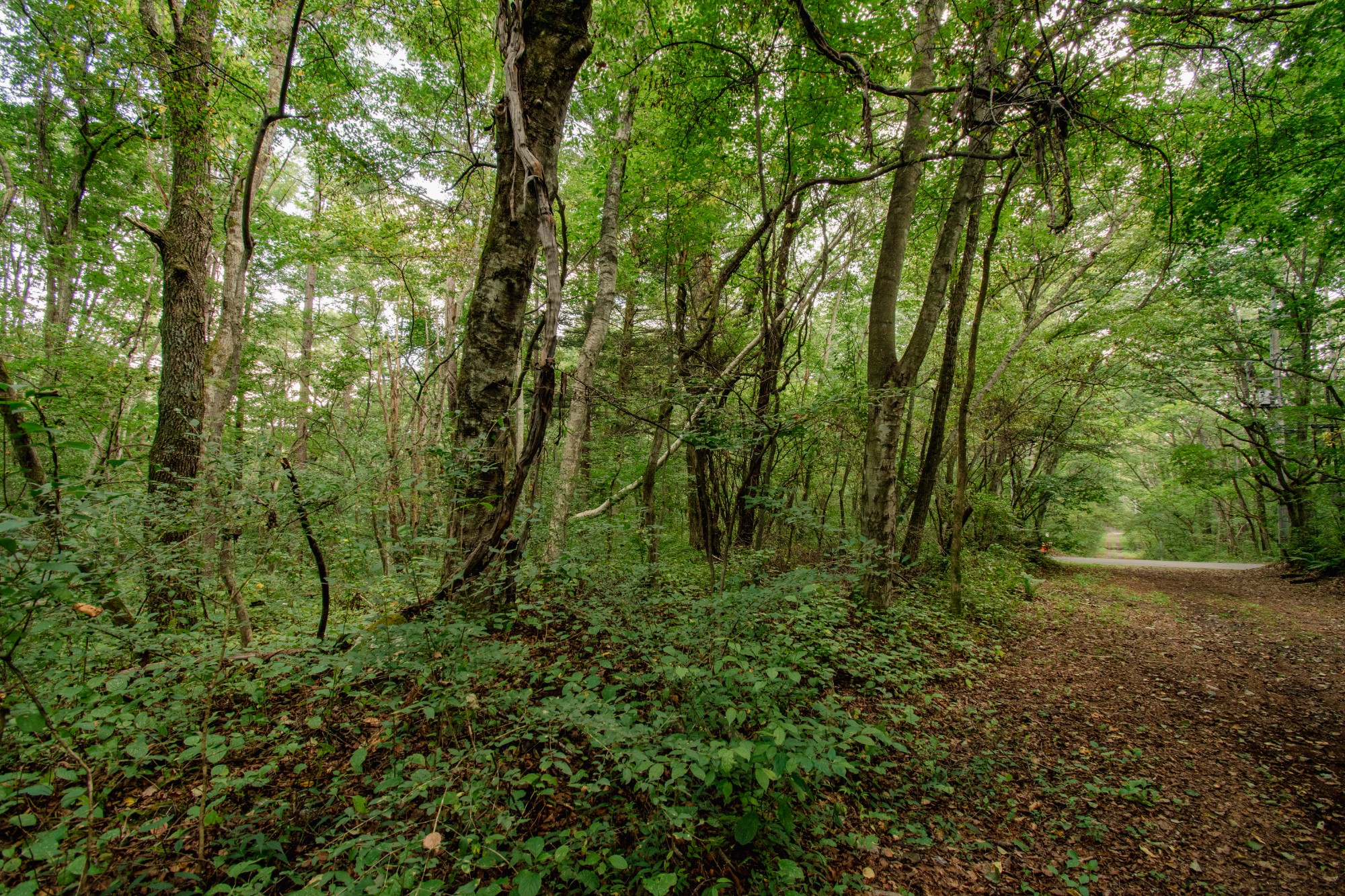
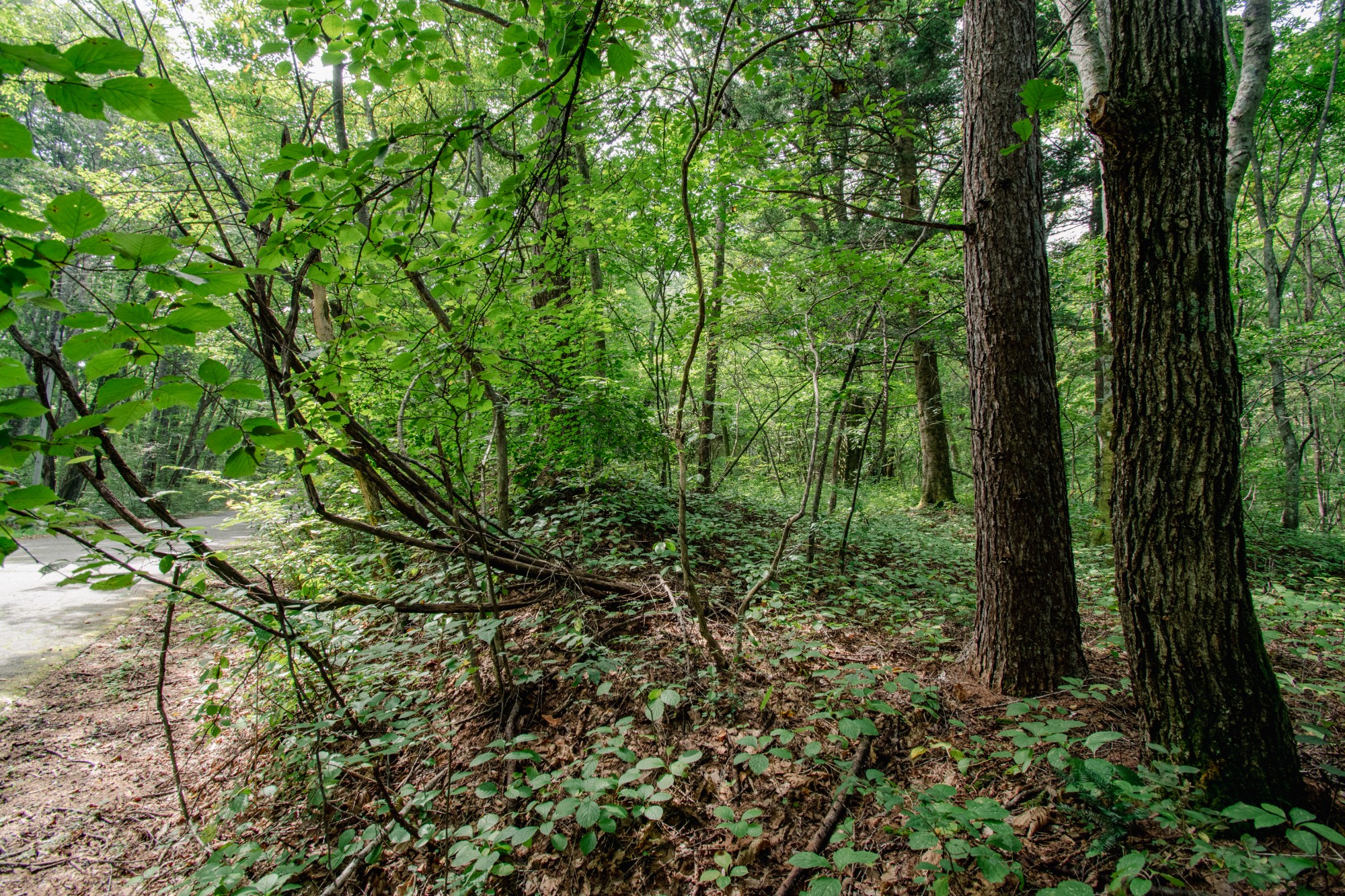
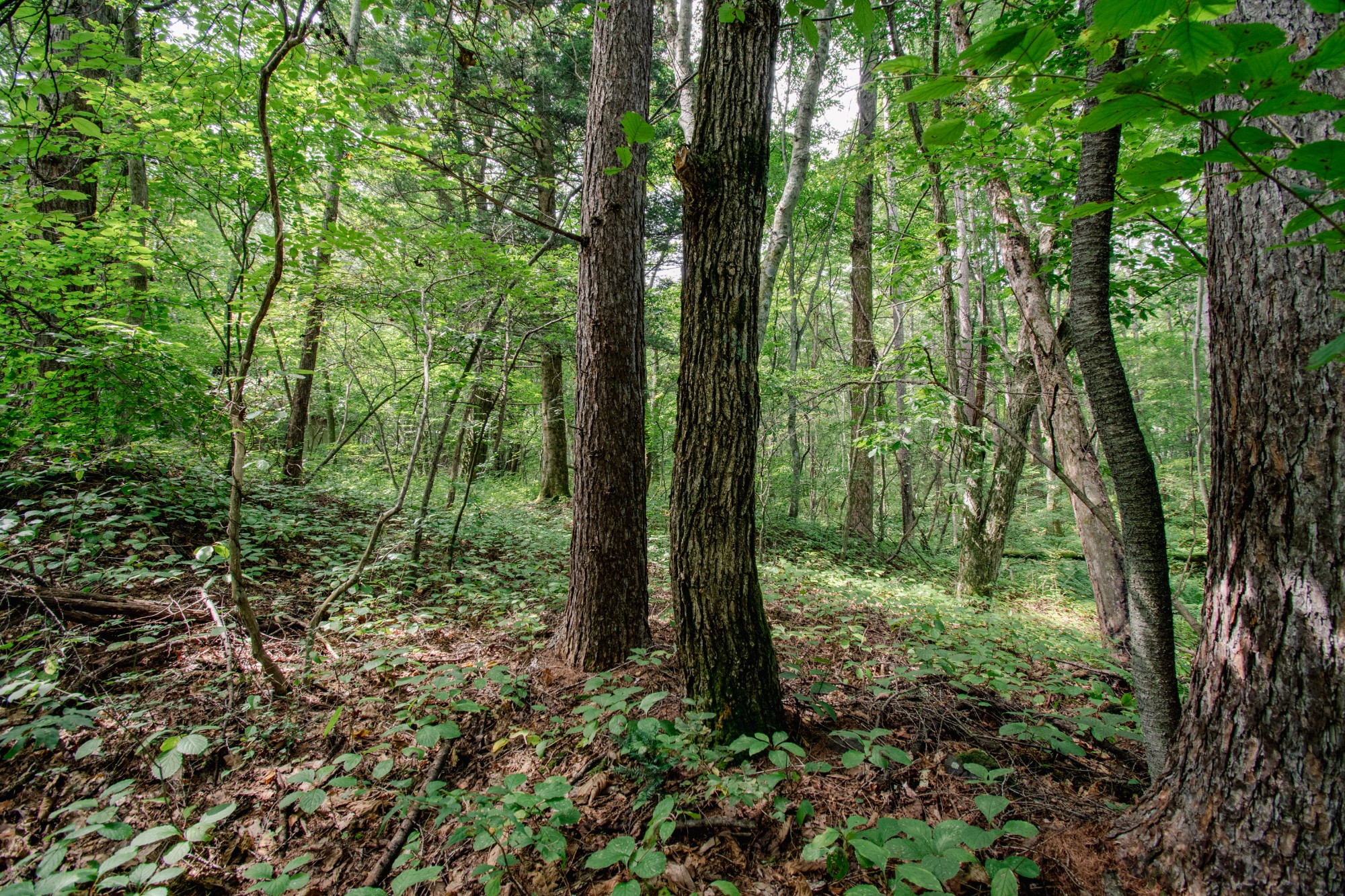
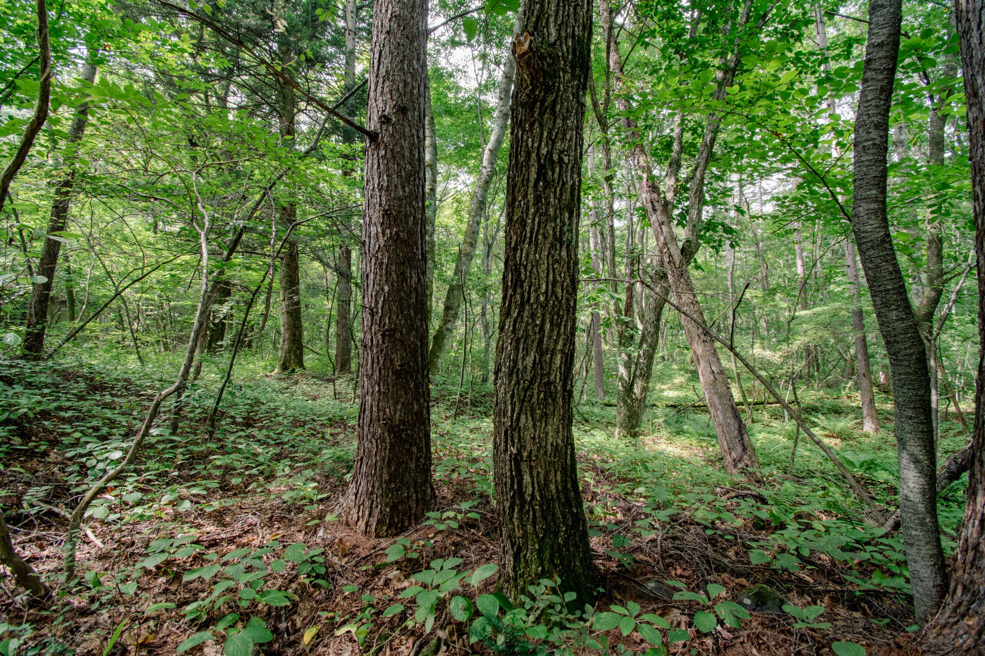
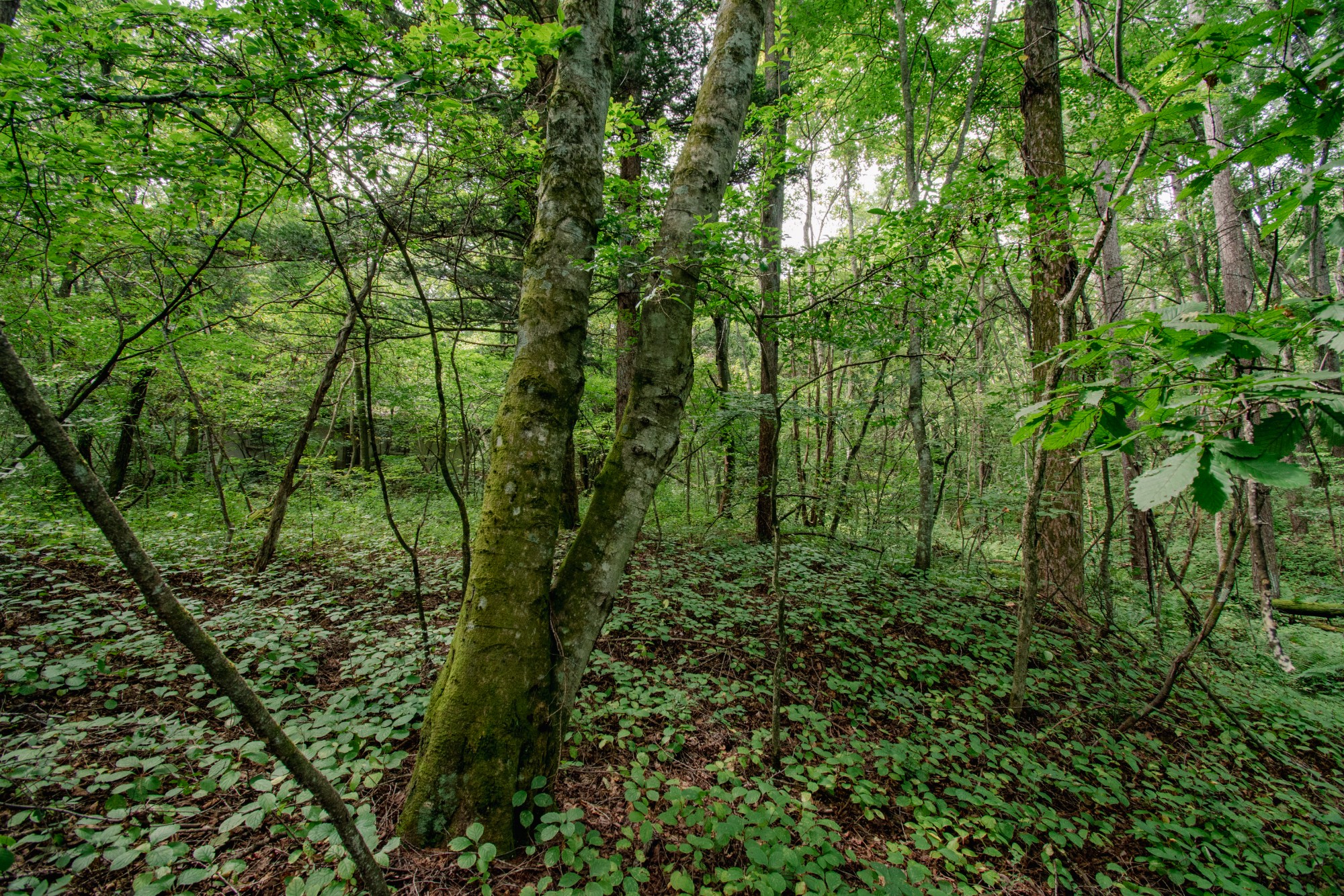
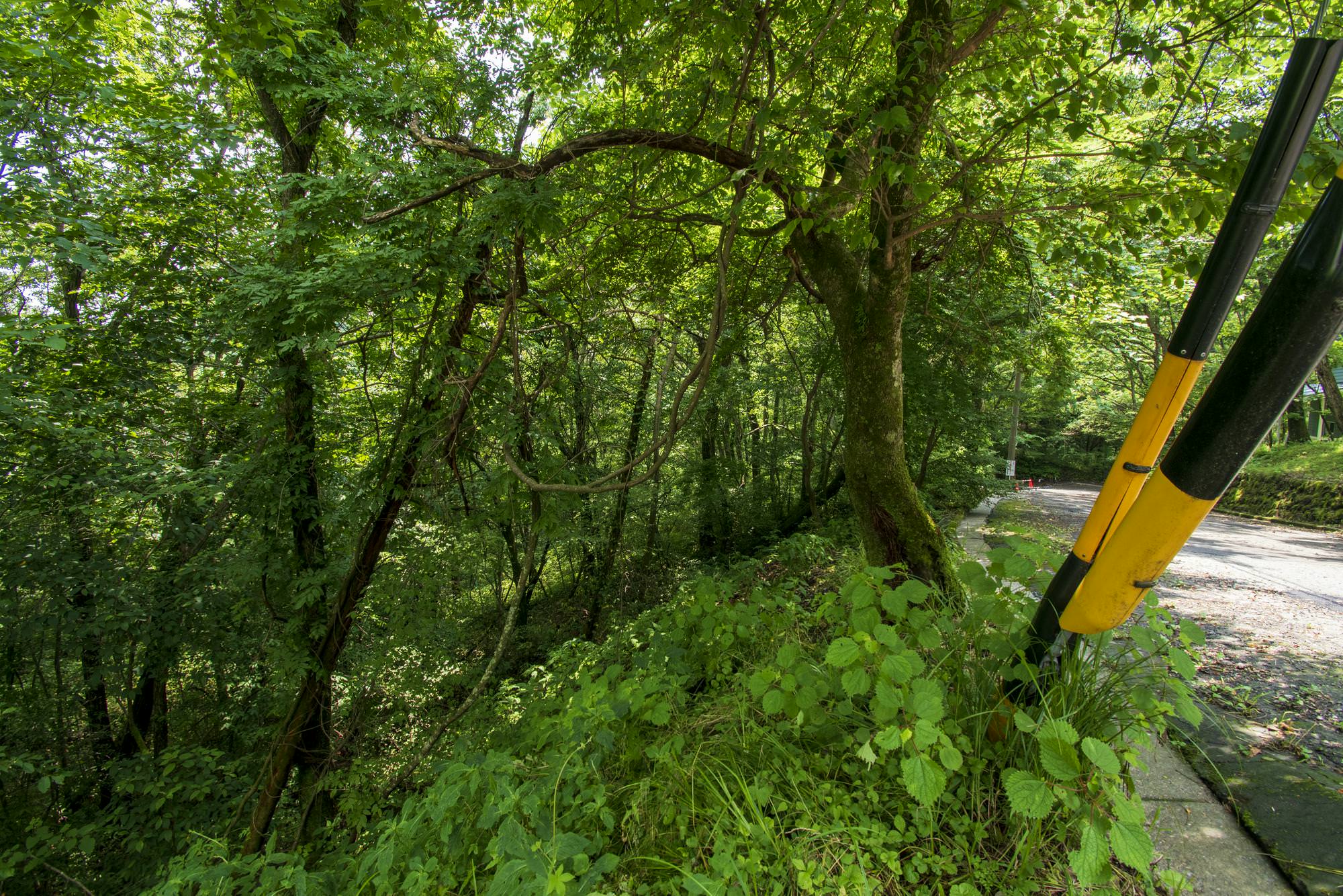
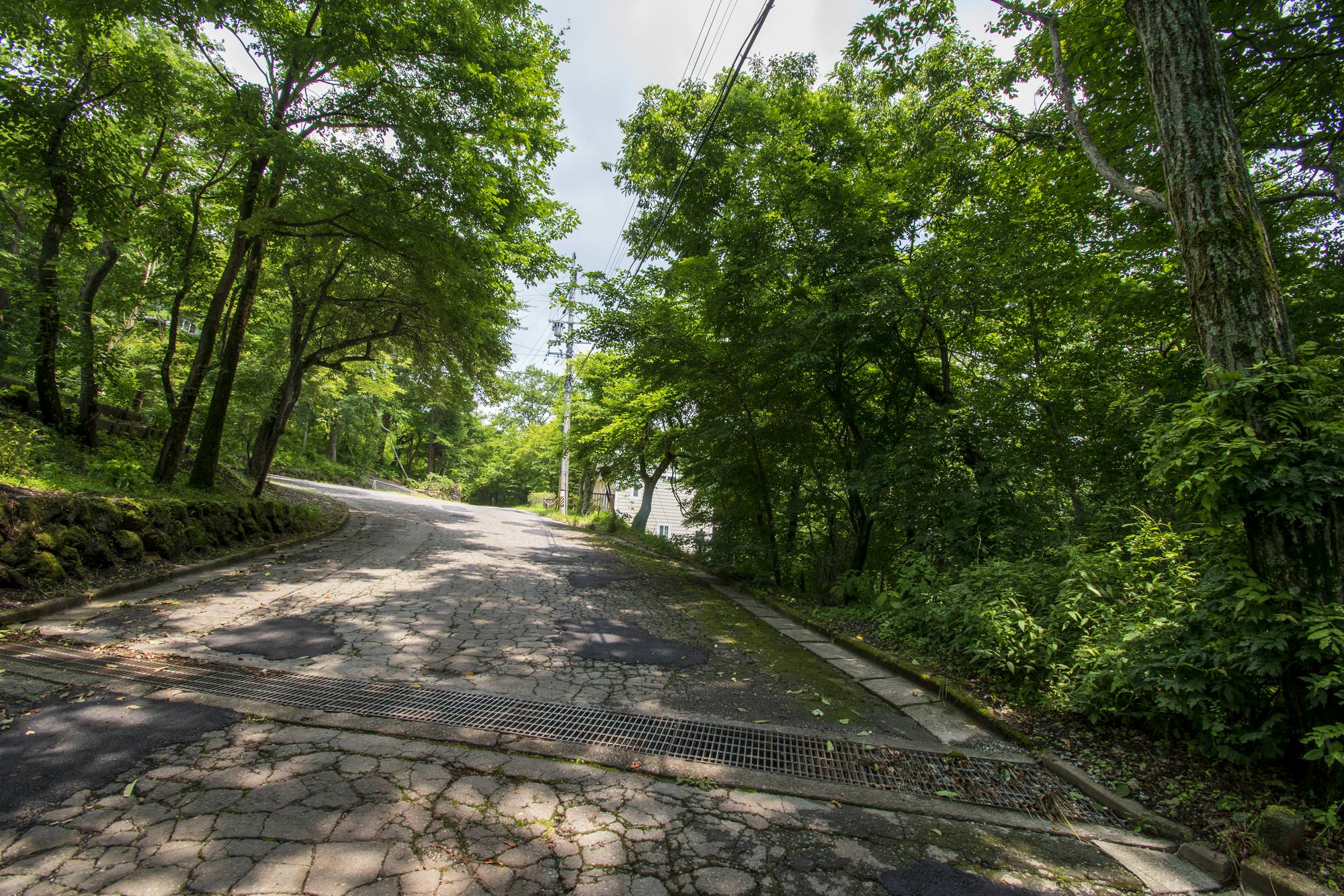
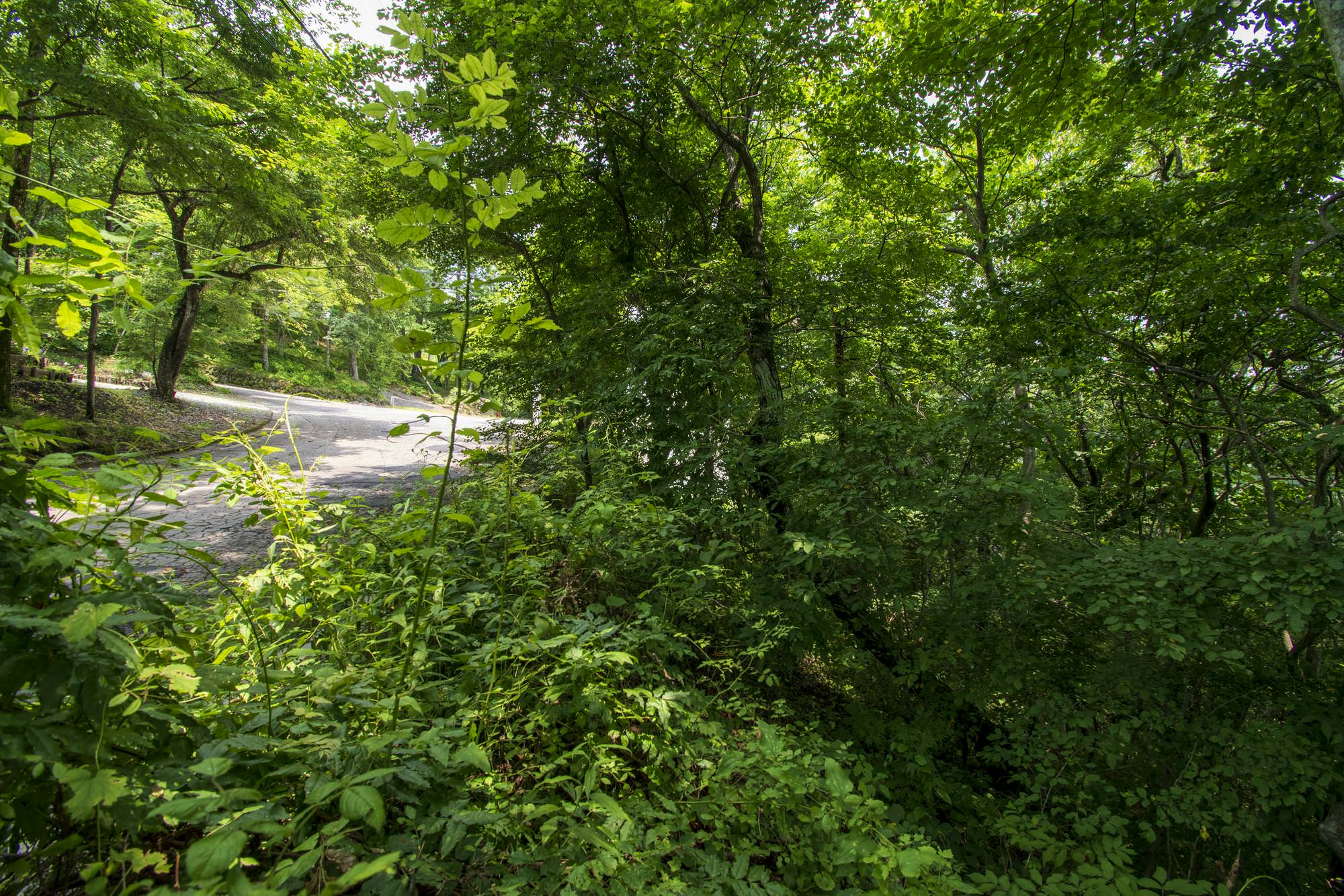
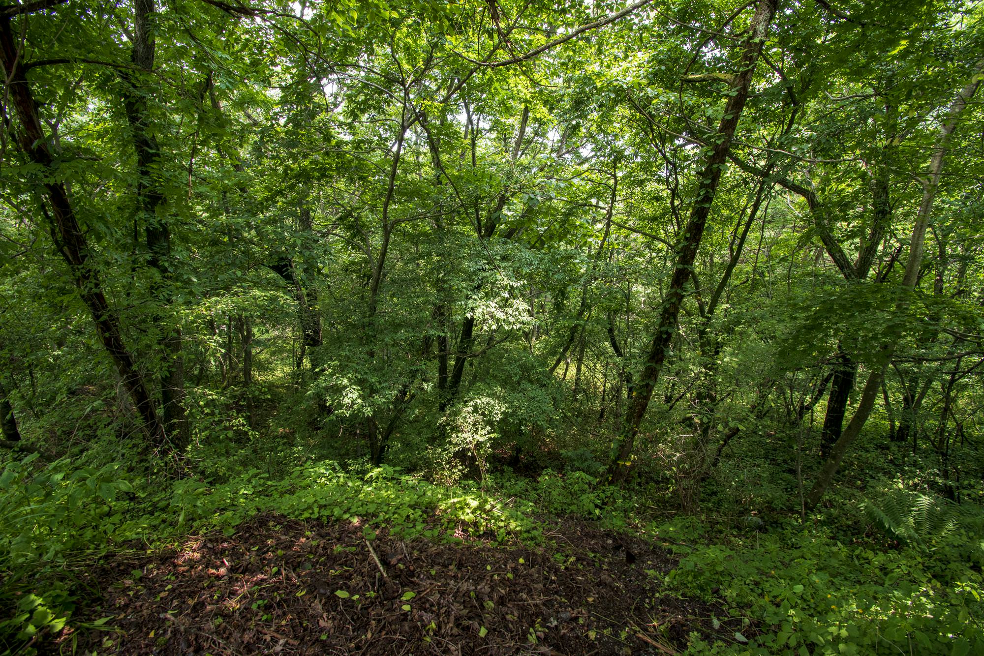
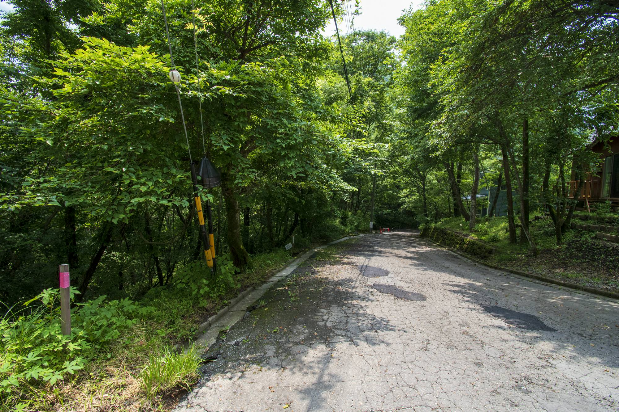
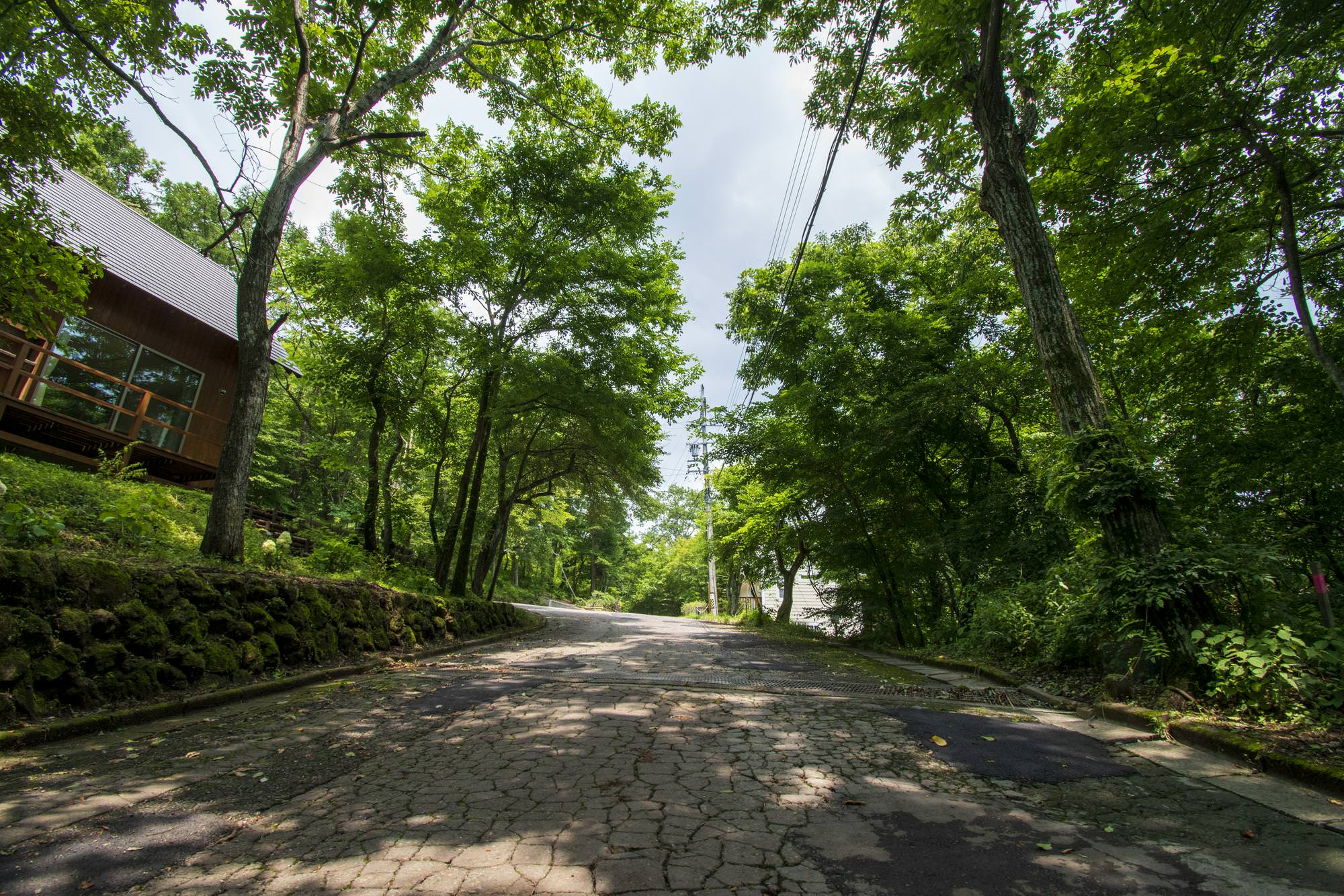
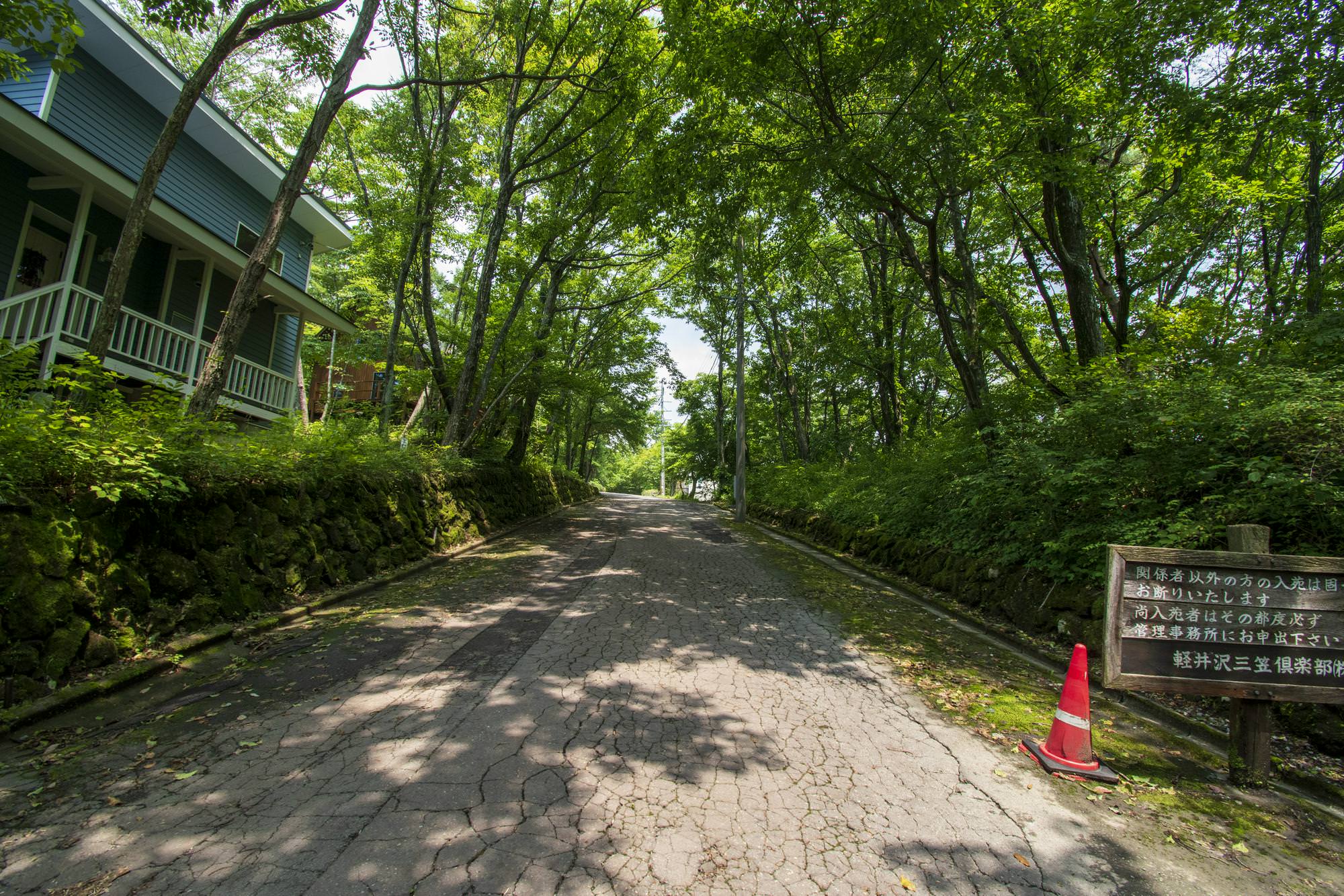
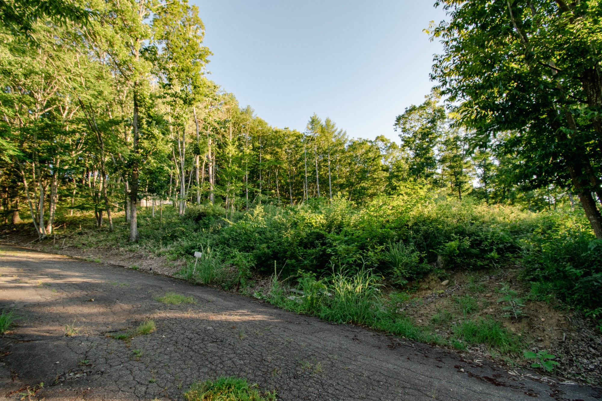
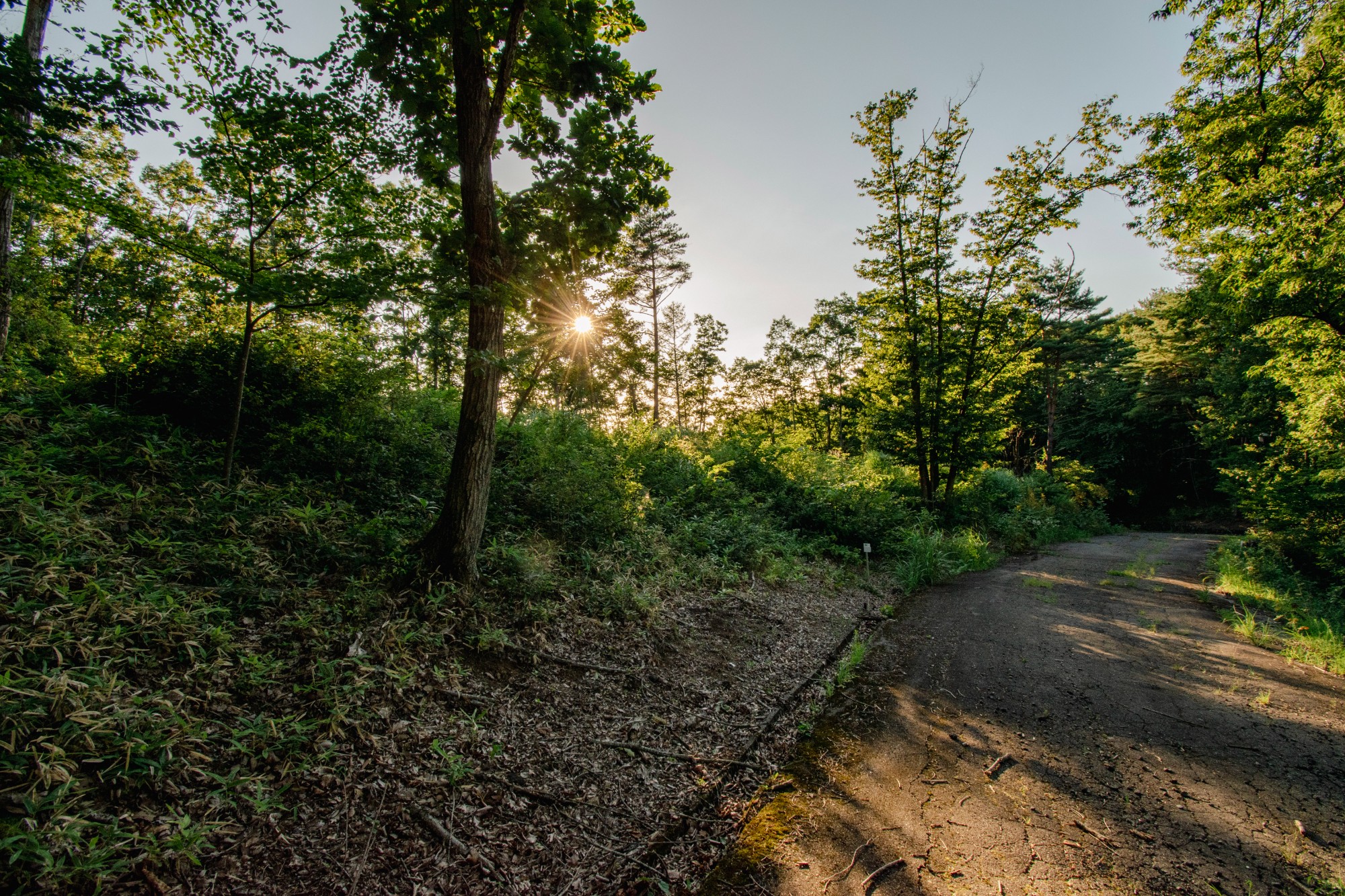
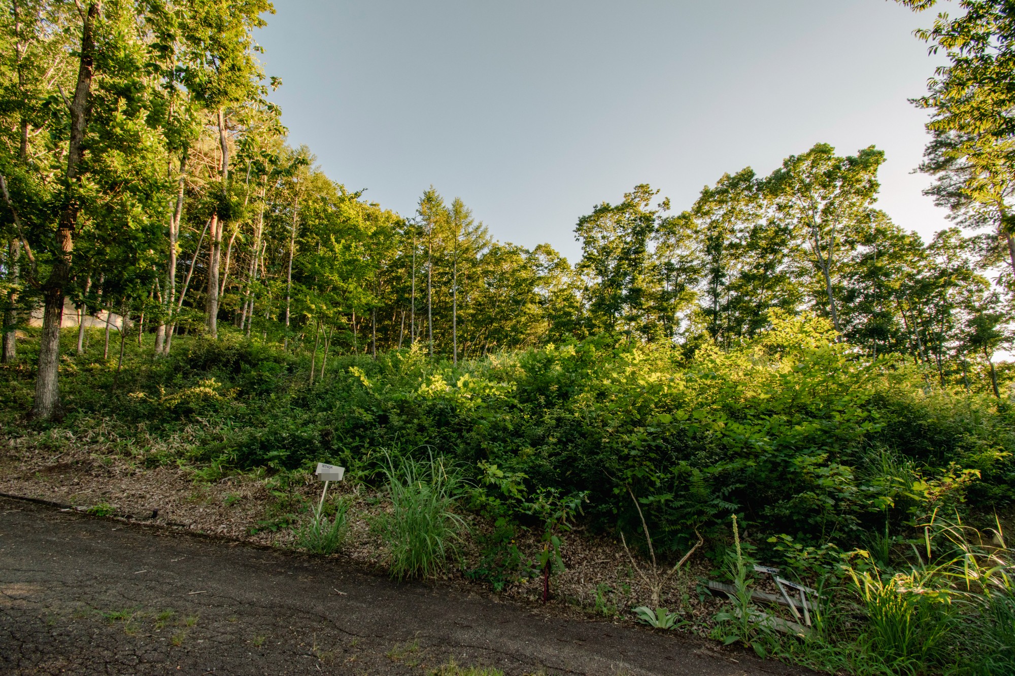
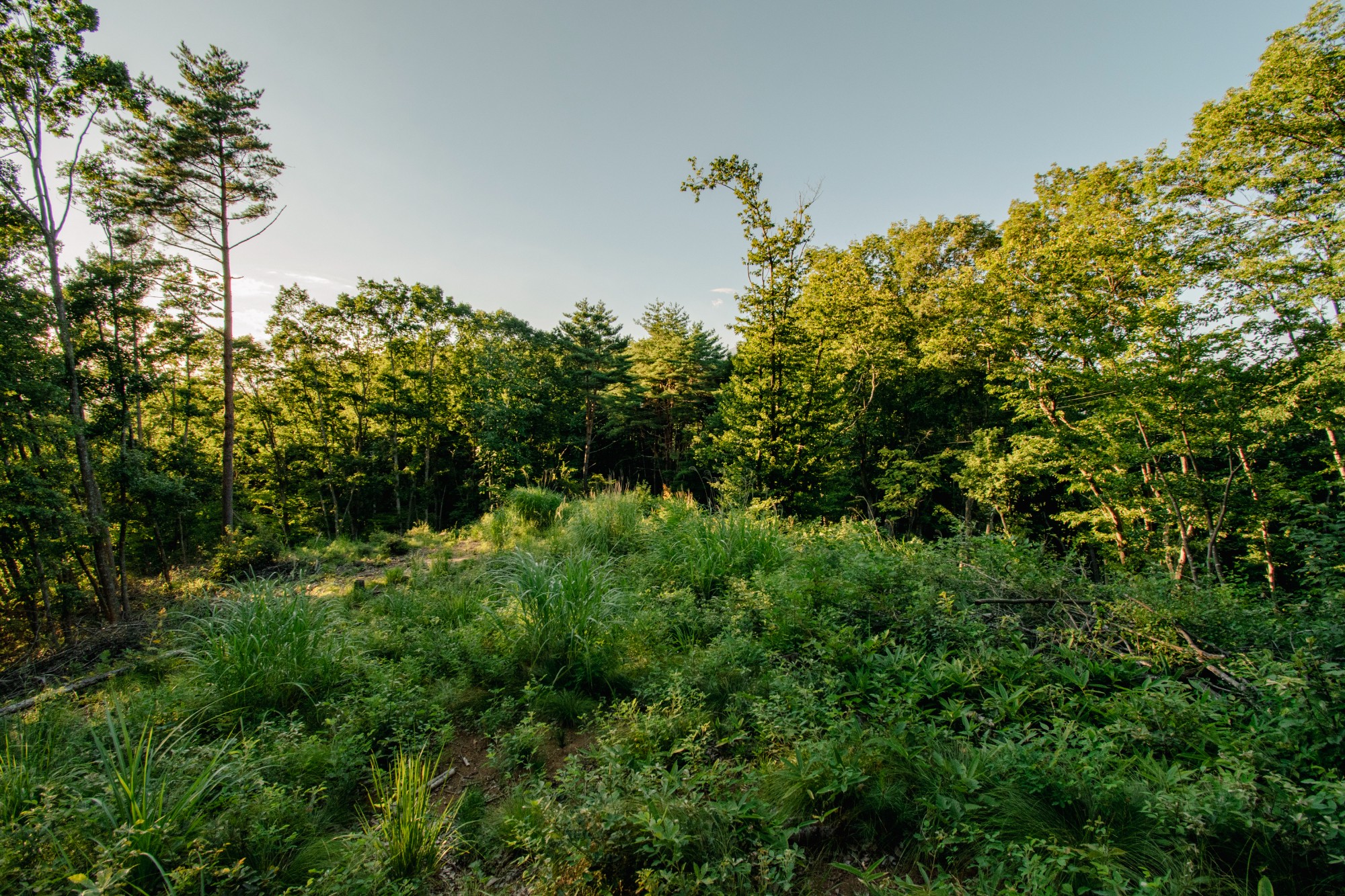
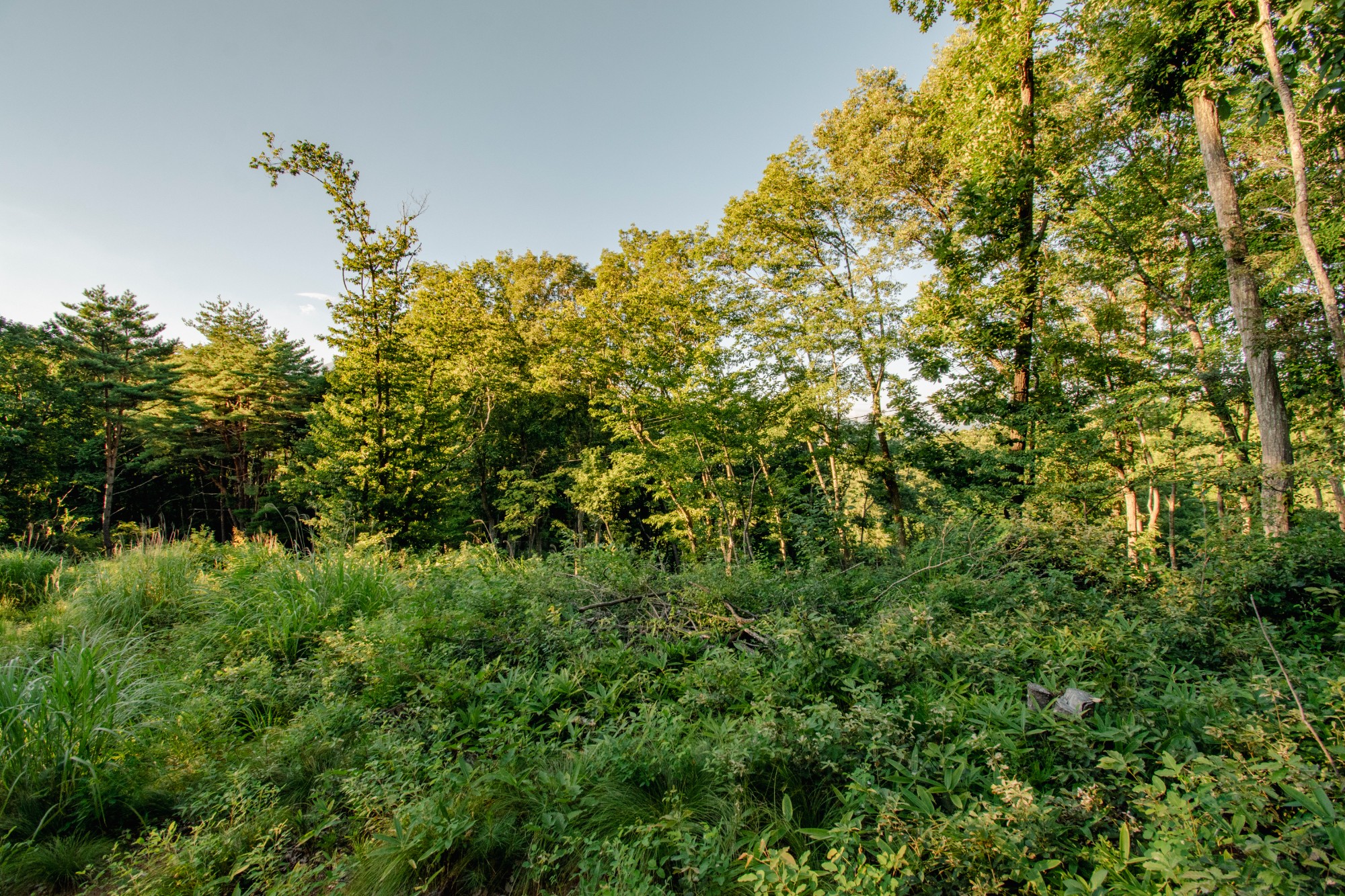
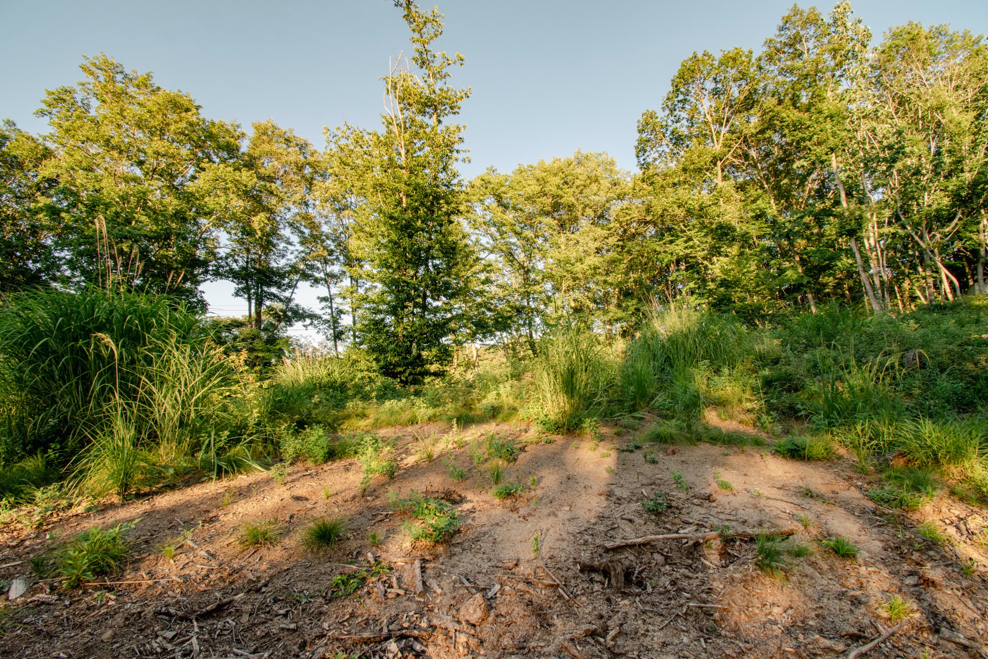
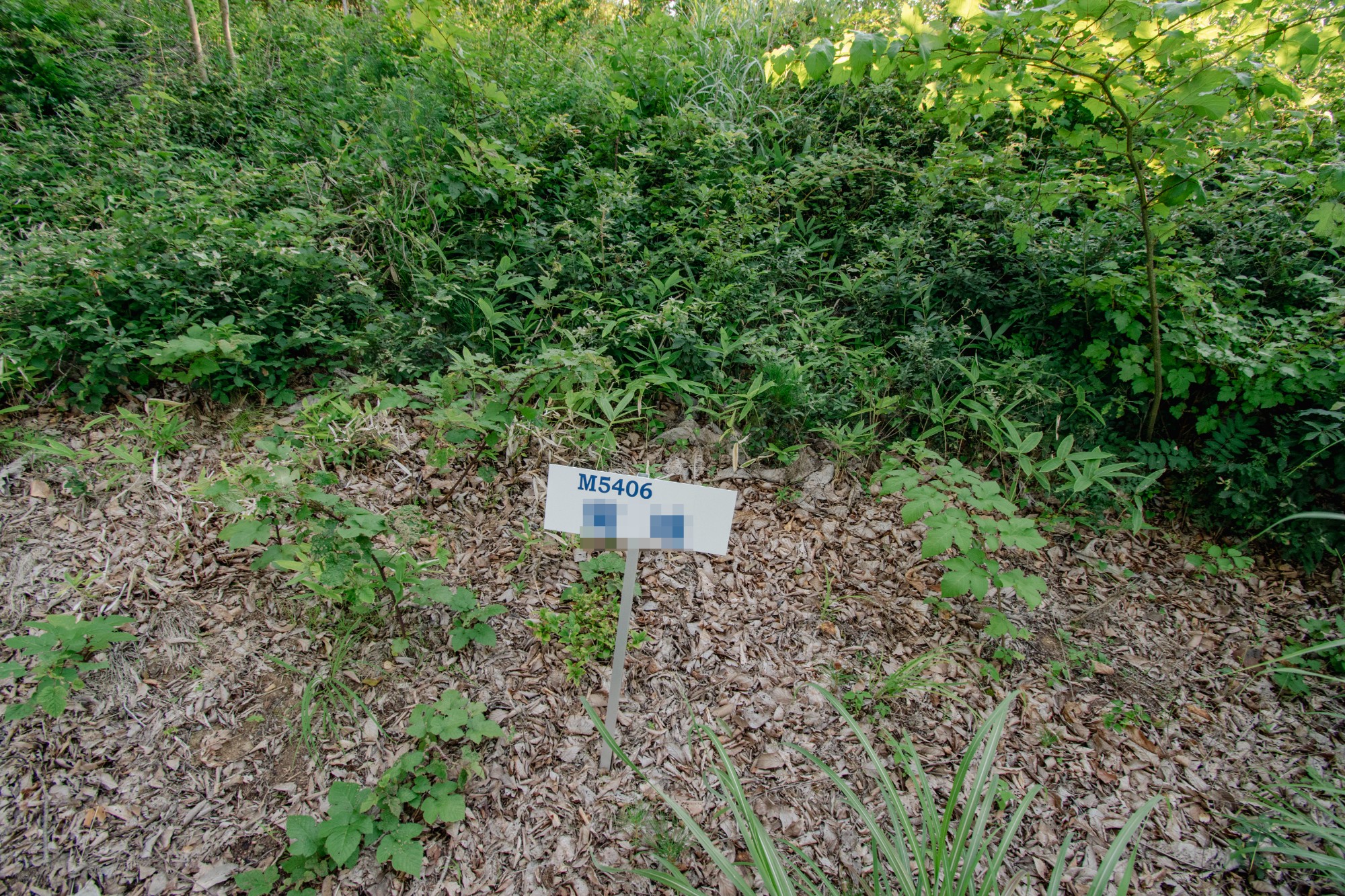
The road extending north from the Karuizawa Town Hall, west of Naka-Karuizawa Station, is called the Tsurutame Town Road. It's a major road within the town, connecting the town hall to the community center, the Koyama villa area, the Tsurutame villa area, and ultimately to Hoshino Resorts. During the summer months, when the national highway becomes heavily congested, this road is frequently used as a shortcut. The Tsurutame villa area is one of the largest villa areas in the Naka-Karuizawa district, spread along the Tsurutame Road. While Tsurutame also contains several privately owned and managed villa areas, such as Mitsui no Mori, Mikasa Park, Hoshino Villa Area, Blanchard no Mori, and Izumigaoka, the other areas of Tsurutame are managed locally by two companies: Kowa Kanko Kaihatsu and Tsuchiya Villa Management Office, which handle water supply and road maintenance. The area where this property is located is supplied with water by Kowa Kanko Kaihatsu. As you can see on the map, this property is located near the top of a hill east of the town road, and the road in front is a mountain path that cannot be used by through traffic. It's a road used only by residents of the surrounding area. It's an extremely quiet environment. Currently, it's a forest, but the residents of the surrounding area have taken advantage of the hill's slope to the northwest, clearing trees to build villas that offer views of Mount Asama. This property is ideal for those who value scenery and environment. Please come and see it for yourself.
• Karuizawa Town Nature Conservation Measures Guidelines • Priority Area for Landscape Development
Last updated
22/07/2026 12:27
Next update date
05/08/2026 12:27
Listed price
¥8,300,000 (18/01/2021) ↓-31%
Has been for sale at
Price per m²
¥6,041/m² (¥19,969/tsubo)
Est. monthly payment
¥24,608/month
Time on Viila
2017 days
Transaction type
Brokerage (Exclusive)
Property type
Lot
Land size
1,374.00 m² (415.63 tsubo)
Sewage
No Septic Tank
Building Coverage Ratio
20%
Building Coverage Ratio
274.80 m² (Estimated)
Floor Area Ratio
20%
Floor Area Ratio
274.80 m² (Estimated)
Zoning
Category Ⅰ exclusively low-rise residential zone
Water supply
Private
Gas supply
Propane gas
Electricity supply
Chubu Electric
Land type
Slope
Land classification
Uncultivated land
Main access roads
幅員約4m私道に南側にて約42.5m接道
Sign in to show exact location
By logging in, you agree to our Terms of Use and to receive Viila emails & updates and acknowledge that you read our Privacy Policy.
1.9 km · 22 mins
2 km · 23 mins
4.7 km · 57 mins
6.5 km · 79 mins
6.8 km · 85 mins
9.7 km · 118 mins
When signing a contract
When settling the remaining fees
Contract stamp tax, brokerage fee and Tax payment are calculated from the displayed price. It may differ at the time of actual transaction. Separately, management fees, property taxes, etc. will be settled by the seller and the buyer starting from the delivery date.
Sign In to comment
By logging in, you agree to our Terms of Use and to receive Viila emails & updates and acknowledge that you read our Privacy Policy.
Payment Calculator
Listed by
Nearby properties
Properties within 1.5km radius Map search